

In 2025, the area deforested in the country fell below one million hectares in a year for the first time since 2019. A total of 984,794 hectares of native vegetation were cleared during 2025, a reduction of 20.6% compared to 2024.
This marks the third consecutive year of decline. On average, Brazil lost 2,698 hectares of native vegetation per day in 2025, or 112 hectares per hour. Over the last seven years, 10.9 million hectares of land has been deforested – an area larger than Ireland.
The annual area deforested in Brazil is still the largest in the world. There is still some way to go to achieve the national target of halting and reversing the loss of native vegetation in the country by 2030. The good news is that when quality information, public transparency and concrete enforcement measures come together, deforestation can be reduced.
This is a key finding of Rad 2025, an annual report on deforestation in Brazil launched in May 2026 by MapBiomas, a global, multi-institutional network formed by universities, not-for-profit organisations and technology companies. This network monitors changes in land cover and land use in different territories and their impacts, now active in 14 countries across South America and Indonesia.
Read more:
How positive tipping points may be the key to protecting tropical rainforests
The report shows a reduction in deforestation across all Brazilian biomes (large, distinct geographical region characterized by its specific climate, soil, and the unique plants and animals that have adapted to live there). The Pantanal saw the largest decrease, at 48.4%. In the Amazon, deforestation fell by 23.5%. The Cerrado also fell, but remains the biome with the largest deforested area in the country: 540,614 hectares in 2025, equivalent to 54.9% of all national deforestation.
The Amazon and the Cerrado together accounted for more than 84% of the deforested area in 2025. The Matopiba region — comprising the states of Maranhão, Tocantins, Piauí and Bahia, in the centre and northeast regions of Brazil — accounted for 40% of the country’s loss of native vegetation and 70% of the deforestation recorded in the Cerrado. The region with the largest deforested area that year was Canto do Buriti, in Piauí, with 20,877 hectares.
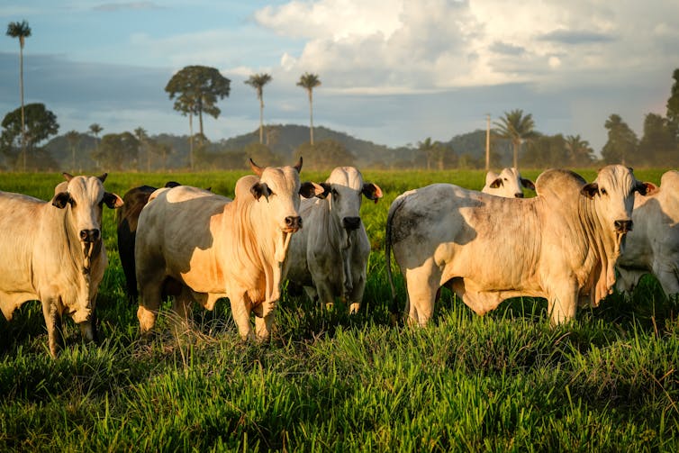
The report also confirms that deforestation in Brazil is predominantly linked to agricultural expansion. In 2025, this factor accounted for 99% of the deforested area. This does not mean that all agricultural activity is linked to deforestation. On the contrary: Brazil has millions of producers who comply with the law and farm on land that has already been cleared. But it does mean that, when native vegetation is cleared, it is in this sector that the main pressure is concentrated.
In 2019, when MapBiomas Alerta began operating, only around 5% of the deforested area in Brazil had seen any kind of action taken by the regulatory bodies — such as embargoes on the use of the property, preventing planting, harvesting and marketing, fines, inspections or valid clearance authorisations. By 2025, this percentage had reached 65%.
This change did not happen by chance. It is the result of a combination of satellite detection systems, technical validation of alerts and the production of reports. These reports incorporated high-resolution imagery, they were cross-referenced with public registers and then effectively communicated to federal, state and municipal environmental agencies.
Technology does not replace public officials. It expands their capacity to act. Brazil is a vast country. There are not enough inspectors to be physically present in every place where vegetation is being cleared. But it is possible to know, almost in real time, where the clearing has taken place, the size of the area, which rural property is involved, whether there is a valid authorisation, and whether the area coincides with indigenous land, a conservation unit, a legal reserve, a permanent preservation area or another relevant territorial zone.
This is what allows us to prioritise operations, guide on site inspections, apply administrative measures and prevent the damage from continuing to spread.
It is therefore a cause for concern that the lower house of the Brazilian Congress has recently passed a bill restricting the adoption of precautionary measures by environmental agencies, including injunctions based on remote monitoring.
The bill is yet to be sent to the Senate. Its supporters argue that the measure seeks to ensure the right to a defence and prevent errors. The right to a defence is essential and must always be guaranteed.
But timing matters.
Deforestation is not a static offence. When an area begins to be cleared illegally, every day without action can mean more trees cut, more fires, more degradation, more illegal occupation and greater difficulty in recovery. The preliminary injunction exists precisely to halt the damage whilst the administrative process runs its course.
PARALAXIS/Shutterstock
Restricting the use of satellite imagery for this type of measure would be like banning the use of speed cameras to monitor speeding on the roads. Radar does not convict anyone on its own. It records technical evidence, including date, time, location and a known method. The person fined can defend themselves, contest the charge, submit documents and demonstrate any error. But the existence of this right does not prevent the State from using technology to detect and curb potentially illegal conduct.
With deforestation, the logic is similar. Satellite imagery is not an opinion. It is an objective record of the Earth’s surface. When combined with technical validation, time series, before-and-after images and cross-referencing of territories, it becomes one of the most robust tools available for environmental enforcement.
Challenges remain
The Rad 2025 report shows that the country is managing to reduce deforestation, but it also highlights where the challenge remains.
Almost 2,700 hectares a day is still being cleared. More than half of Brazil’s municipalities still have at least one deforestation event detected in the year. Strong pressure remains on the Cerrado, on the Matopiba region and on unauthorised private land.
Scaling back the use of technology in enforcement seems to run counter to the available evidence. The progress observed since 2019 coincides with the expanded use of public data, satellites, validated alerts and remote measures os control. This is not about replacing due process, but about allowing it to be informed by rapid, transparent and verifiable evidence.
Read more:
Unprecedented drought in the Amazon threatens to release huge stores of carbon – podcast
Brazil now has one of the most comprehensive systems in the world for monitoring deforestation. This capability did not emerge overnight. It is the result of decades of public investment, science, inter-institutional cooperation and technological innovation. Using it effectively is a strength for the country.
The challenge now is to turn the 2025 decline into a lasting trend. To achieve this, it will be necessary to make progress in areas where deforestation remains concentrated, strengthen the role of the states, increase the accountability of those who deforest illegally, and provide security for those who produce in compliance with the law.
The worst course of action would be to reduce the government’s ability to see what is happening on the ground. Because, in the fight against deforestation, seeing quickly is essential to acting in time.