





This matters most at the coast. If the land is sinking while the sea is rising, the two effects combine, meaning coastal cities experience relatively higher sea levels, and the impacts of climate change arrive sooner.
This effect of groundwater pumping on land subsidence is well understood, and improved groundwater management is often put forward as the key strategy for slowing or halting the sinking.
What is not clear is how the ground beneath a city responds when long-term water aquifer recovery happens. Does the ground simply rise back up, uniformly, like a balloon reinflating? Or is the response more complicated?
To answer this, we need two key things: long-term records of where the water is accumulating in the underground aquifers, and precise millimetre-scale measurements of elevation of the ground surface above.
Osaka, a natural laboratory
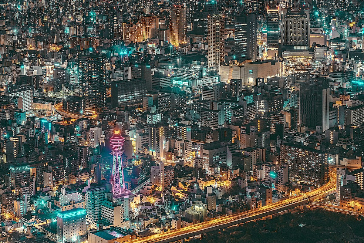
Osaka provided the perfect setting to explore this. Between the 1920s and 1960s, heavy groundwater pumping lowered water levels beneath the city by up to 30 metres, and the land sank by more than two metres in places.
This led the Japanese government to introduce strict groundwater regulations in the early 1960s. In the decades since, groundwater levels have been recovering steadily.
To track the groundwater levels, we looked at data from 44 monitoring wells, some reaching as deep as 500 metres below the surface, and stretching back in time to 1985.
To measure the tiny changes in ground elevation, we used a technique known as interferometric synthetic aperture radar (InSAR). This involves the repeat acquisition of satellite radar images of the Earth’s surface, tied to very accurate global navigation satellite system measurements of ground stations.
The results are striking. Across greater Osaka, home to about 15 million people, the ground is rising, and fast.
The speed of uplift averaged about four millimetres a year, and was as high as 12 millimetres a year in some places. Groundwater levels have also been steadily rising, at rates of up to a metre a year. Where water levels climbed fastest, so did the land.
But the map of uplift was also very patchy.
One city block could be uplifting fast, while less than 100 metres down the road it could be much slower. These abrupt changes aren’t random. They form narrow but continuous corridors that ran across the city.
We soon realised something unexpected: these corridors mapped almost perfectly onto known tectonic fault lines.
Faults act like dams
Faults are fractures in the Earth’s crust, and are usually thought of in terms of earthquakes. But we found they play another role here.
Picture a fault as a curtain hanging vertically underground, cutting through the aquifer. Instead of holding back light, it holds back water, blocking its sideways flow and acting like an underground dam.
On one side of Osaka’s Uemachi Fault, groundwater levels have been rising three times faster than on the other side.
We found the same pattern repeats at other faults across the city. Water dams on the “upstream” side of a fault, where it can’t easily flow through, driving faster groundwater recovery and faster uplift there, while the “downstream” side lags behind.
Our research highlights a potentially important opportunity for coastal cities adapting to sea-level rise.
Where groundwater depletion has contributed to land subsidence, reducing extraction and allowing aquifers to recover could reduce – and in some places potentially reverse – the downward movement of the land.
As seas continue to rise, keeping the ground beneath coastal cities from sinking could be an increasingly important part of adapting to a warming world.
This article was originally published on The Conversation.